
|
|
Institute of Computer Science — Knowledge-Based Systems Research Group |
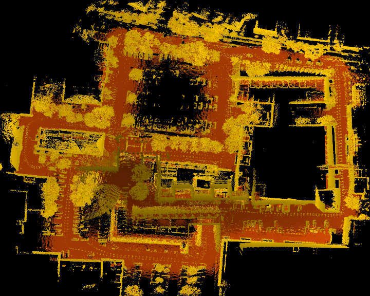
Ground Truth Evaluation of Large Urban 6D SLAM |
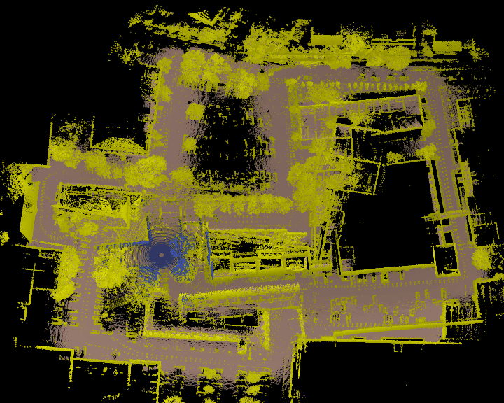
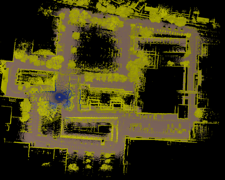
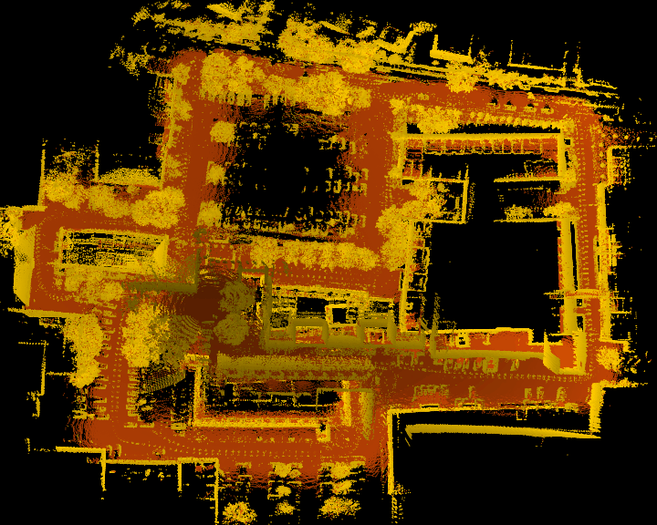
In the past many solutions for simultaneous localization and mapping (SLAM) have been presented. Recently this solutions have been extended to large maps and six degrees of freedom. To demonstrate the capabilities of these SLAM algorithms it is common practice to present the generated maps and successful loop closing. Unfortunately there is often no objective performance metric that allows to compare different approaches. This fact is attributed to the lack of ground truth data. For this reason we present a novel method that is able to generate this ground truth data based on reference maps. Further on the resulting reference path is used to measure the absolute performance of a 6D SLAM algorithm building a large urban outdoor map.
Oliver Wulf, Andreas Nüchter, Joachim Hertzberg, and Bernardo Wagner. Benchmarking Urban Six-Degree-of-Freedom Simultaneous Localization and Mapping. Journal of Field Robotics (JFR), Wiley & Son, ISSN 1556-4959, Vol. 25, Issue 3, pages 148 - 163, March, 2008, [Get Paper] [Get Videos].
Oliver Wulf, Andreas Nüchter, Joachim Hertzberg, and Bernardo Wagner. Ground Truth Evaluation of Large Urban 6D SLAM. In Proceedings of the IEEE/RSJ International Conference on Intelligent Robots and Systems (IROS '07), pages 650 - 657, ISBN 1-4244-0912-8, San Diego, CA, USA, October - November, 2007 [Get Paper]. [Get Videos]